-

Éclipse solaire en Islande – Expédition 2026
•
En août 2026, la côte ouest de l’Islande sera le théâtre d’une nouvelle éclipse solaire. Il ne s’agit pour l’instant que d’un aperçu, mais nous publierons plus d’informations prochainement.
-
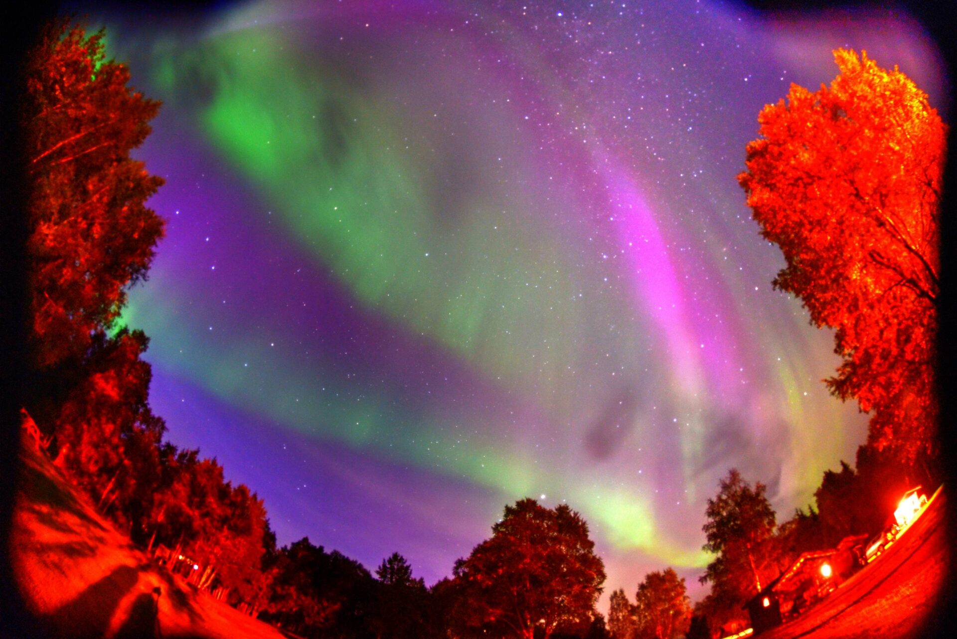
Bałtycki ekspres 2024 – Polowanie na zorze
•
Tym razem na poszukiwanie zorzy polarnej wyruszyliśmy jeszcze dalej na północ niż Islandia – docierając poprzez Litwę, Łotwę, Estonię i Finlandię poza koło podbiegunowe (tak, odwiedziliśmy św. Mikołaja w Rowanieni – tam przekraczając koło podbiegunowe). Naszym celem był archipelag Vesterålen leżący na północ od Lofotów.
-

Wild West USA 2024 – Sud-ouest
•
Si vous souhaitez vivre une aventure unique, vous promener dans des déserts sauvages, vous faufiler dans des crevasses étroites et connaître la civilisation perdue Anasazi, dans la première quinzaine de juillet, nous partirons pour une expédition de deux semaines encore une fois, au cours de laquelle nous visiterons ma ville…
-

Île de Pâques et éclipse solaire 2024
•
D’accord… l’endroit le plus cool pour voir une éclipse solaire ? En 2023, il s’agissait des ruines d’Uxmal, au Mexique. 2024 veut probablement vaincre cela en nous offrant une éclipse annulaire visible depuis le milieu du Pacifique, depuis l’île de Pâques. Les plans sont déjà en cours d’élaboration, les détails…
-

Éclipse annulaire sur le Yucatan au Mexique 2023 rapport partie 1
•
En octobre 2023, la Lune recouvrait la face du Soleil. Cependant, en raison de l’emplacement des deux objets et de leurs tailles relatives, il ne s’agissait pas d’une éclipse totale mais d’une éclipse annulaire encore plus rare. La Lune couvrait au maximum 96 % du disque de notre étoile. De…
-
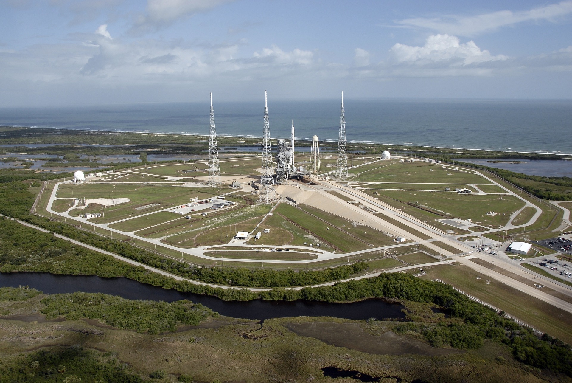
Grande éclipse nord-américaine 2024
•
Nous préparons actuellement un voyage vers l’éclipse solaire totale, qui sera visible le 8 avril 2024 dans le sud-est des États-Unis. Le plan est de visiter la Floride – à la fois la nature (Everglades N.P.), la culture (Key West et Miami) et l’espace (Cape Canaveral), le musée de l’aviation…
-

Hautes Terres d’Islande 2023 – Atelier de photographie – rapport
•
L’Islande a encore une fois été gentille avec nous. Il est vrai que le volcan n’a pas éclaté cette fois (la mise à jour de fin juillet – c’était juste tard), mais le temps a été favorable pendant la majeure partie du voyage, grâce auquel le plan a été principalement…
-

Éclipse annulaire sur le Yucatan au Mexique 2023
•
En octobre 2023, la Lune passera devant le disque du Soleil – cependant, en raison de la position des deux objets et de leurs tailles relatives, ce ne sera pas une éclipse totale, mais une éclipse annulaire, au cours de laquelle 0,96 du disque de notre étoile passera être couverte…
-

Hautes Terres d’Islande 2023 – Atelier de photographie
•
Désolé, cet article est seulement disponible en Polski.
-

États-Unis Wild West 2020 Southwest Photo Expedition
•
En raison de la pandémie de COVID-19, l’expédition a été annulée. Tomasz Czarnecki vous invite cordialement à une exploration des plus beaux endroits du sud-ouest des États-Unis. Au cours de la première quinzaine de juillet, je vous invite à un voyage de deux semaines, au cours duquel vous aurez l’occasion…
Laisser un commentaire