-

Sonnenfinsternis in Island – Expedition 2026
•
Im August 2026 wird die westliche Spitze Islands Schauplatz einer weiteren Sonnenfinsternis. Dies ist derzeit nur ein Vorgeschmack, wir werden aber bald weitere Informationen veröffentlichen.
-
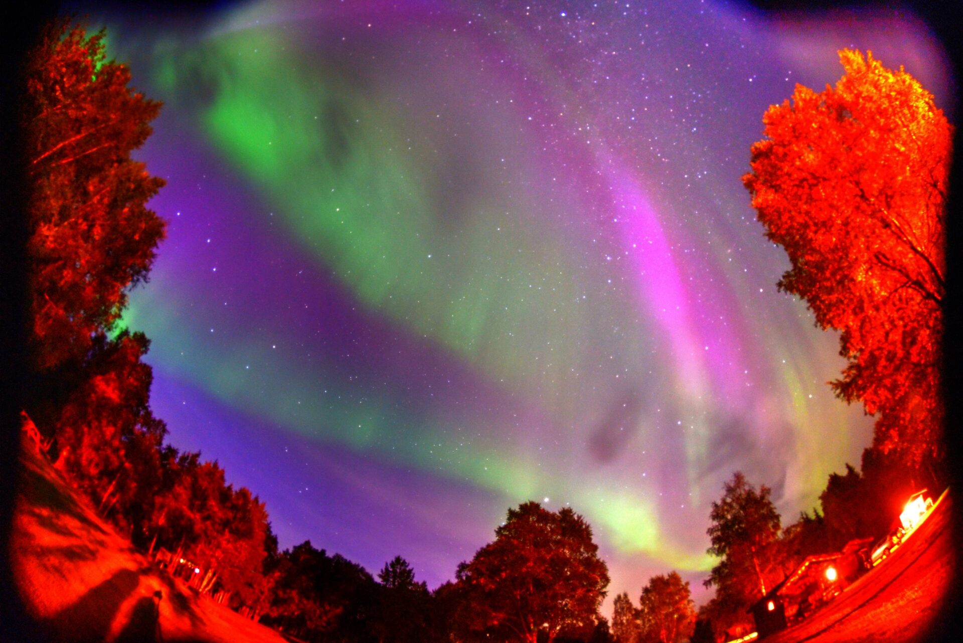
(Polski) Bałtycki ekspres 2024 – Polowanie na zorze
•
Leider ist der Eintrag nur auf Polski und Français verfügbar.
-

Wild West USA 2024 – Südwest
•
Wenn Sie ein einzigartiges Abenteuer erleben, durch wilde Wüsten wandern, sich durch enge Spalten zwängen und die verlorene Anasazi-Zivilisation kennenlernen möchten, gehen wir in der ersten Julihälfte auf eine zweiwöchige Expedition Wieder einmal besuchen wir meine Lieblingsstadt in den USA – San Francisco, und dann fahren wir nach Osten, durch…
-

Osterinsel und Sonnenfinsternis 2024
•
Okay… der coolste Ort, um eine Sonnenfinsternis zu sehen? Im Jahr 2023 waren es die Ruinen von Uxmal, Mexiko. 2024 will dies wahrscheinlich übertreffen, indem es uns eine ringförmige Sonnenfinsternis beschert, die von der Mitte des Pazifiks, von der Osterinsel aus, sichtbar ist. Pläne werden bereits geschmiedet, Details folgen in…
-

Ringförmige Sonnenfinsternis über Yucatan in Mexiko 2023 Bericht Teil 1
•
Im Oktober 2023 verdeckte der Mond das Gesicht der Sonne – aufgrund der Lage beider Objekte und ihrer relativen Größe handelte es sich jedoch nicht um eine totale Sonnenfinsternis, sondern um eine noch seltenere ringförmige Sonnenfinsternis. Der Mond bedeckte maximal 96 % der Scheibe unseres Sterns. Darüber hinaus war das…
-
Große nordamerikanische Sonnenfinsternis 2024
•
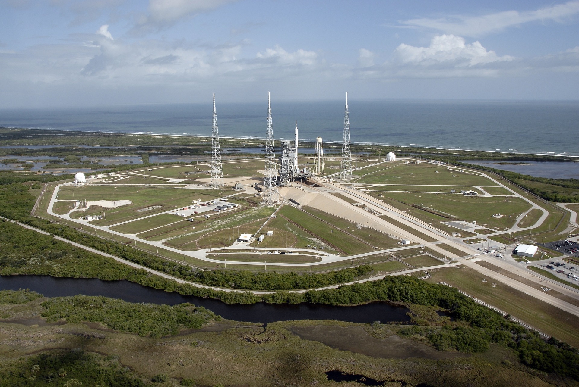
Wir bereiten derzeit Pläne für eine Reise zur totalen Sonnenfinsternis vor, die am 8. April 2024 im Südosten der USA sichtbar sein wird. Geplant ist, Florida zu besuchen – sowohl Natur (Everglades N.P.), Kultur (Key West und Miami) als auch Weltraum (Cape Canaveral), das US Naval Aviation Museum in Pensacola…
-

Hochland of Island 2023 – Fotografie-Workshop – Bericht
•
Island war wieder einmal freundlich zu uns. Es stimmt, dass der Vulkan dieses Mal nicht ausgebrochen ist (das Update von Ende Juli – es war nur spät), aber das Wetter war für den größten Teil der Reise günstig, wodurch der Plan größtenteils umgesetzt wurde, und es fiel etwas heraus, etwas…
-

Ringförmige Sonnenfinsternis über Yucatan in Mexiko 2023
•
Im Oktober 2023 wird der Mond vor der Sonnenscheibe vorbeiziehen – allerdings wird es aufgrund der Position beider Objekte und ihrer relativen Größe keine totale, sondern eine ringförmige Sonnenfinsternis sein, bei der 0,96 % unserer Sternscheibe betroffen sein werden maximal abgedeckt werden. Dieses Phänomen wird jedoch von einer ungewöhnlichen Region…
-

USA Wild West 2020 Südwest Fotoexpedition
•
Aufgrund der COVID-19-Pandemie wurde die Expedition abgesagt. Tomasz Czarnecki lädt Sie herzlich zu einer gemeinsamen Erkundung der schönsten Orte des Südwestens der Vereinigten Staaten ein. In der ersten Julihälfte lade ich Sie zu einer zweiwöchigen Reise ein, bei der Sie die Gelegenheit haben, meine Lieblingsstadt USA – San Francisco -…

Schreibe einen Kommentar