Drones have completely changed landscape photography. Just a dozen or so years ago, aerial photographs required helicopter or airplane flights. Today, a small drone allows a photographer to look at the landscape from a completely new perspective and create images that were previously almost inaccessible.
At the same time, drone photography quickly showed that a view from above alone is not enough to create a good photograph. The ability to lift a camera several dozen meters above the ground does not replace light, composition or conscious seeing. The best photographs made with a drone are still based on the same principles as classic landscape photography.
A drone in landscape photography is a tool. It can open new possibilities, but it also requires responsibility, knowledge of regulations, planning and the ability to work in changing conditions.
Why Has the Drone Changed Landscape Photography?
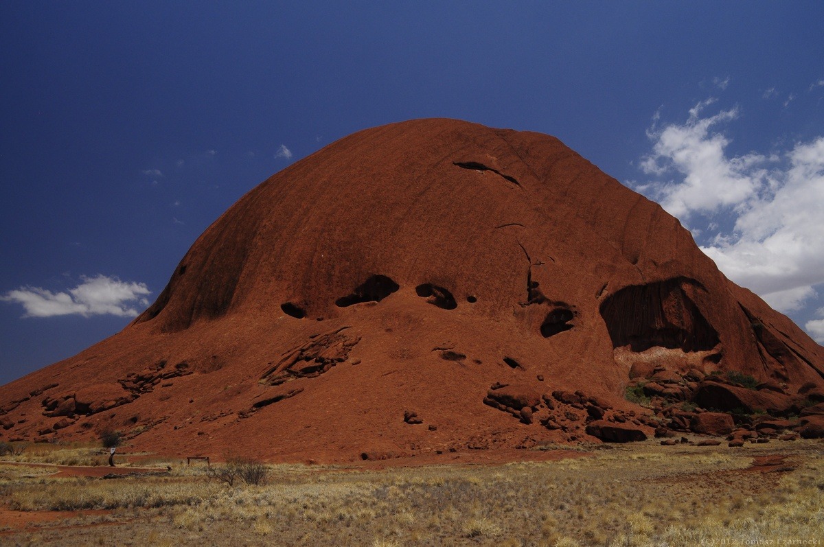
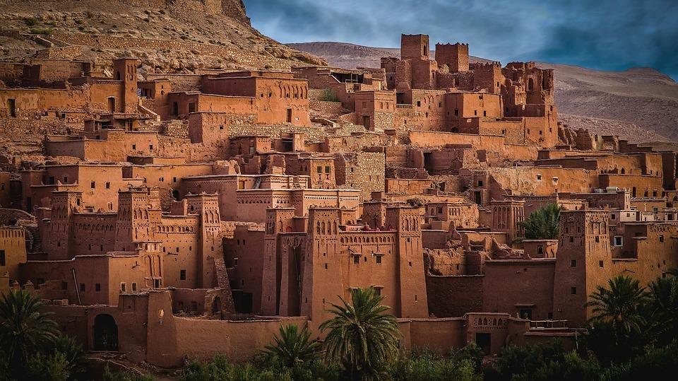
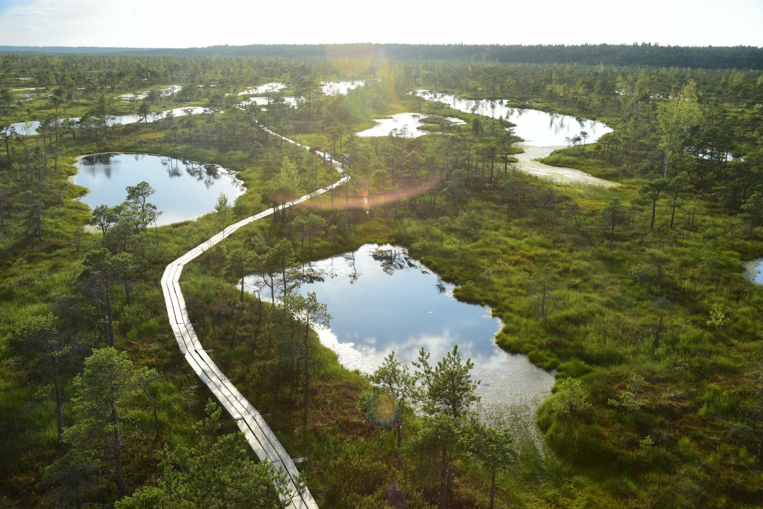
The greatest advantage of a drone is the ability to show relationships between elements of the landscape. From ground level, we often see only a fragment of a scene. From the air, lines, rhythms, structures and geometric patterns appear, which are invisible from a normal perspective.
Rivers begin to resemble abstract forms, roads lead the eye through the landscape, and light creates patterns on fields, dunes or mountains. This is precisely why drone photography works so well in landscape photography.
However, the greatest strength of a drone is not always height. Very often, the best photographs are made relatively low above the ground, when the perspective still feels natural but gives a more ordered view of the scene.
The Most Common Beginner Mistake
Many beginner photographers, after buying a drone, immediately fly it as high as possible. The problem is that an overly high perspective very often flattens the landscape and removes the main point of interest from the photograph.
A good drone photograph still needs:
- light,
- composition,
- a clear subject,
- rhythm,
- emotion or atmosphere.
Height alone does not create an interesting photograph. In practice, the best frames are very often made at a height of several dozen meters or even less.
Light in Drone Photography
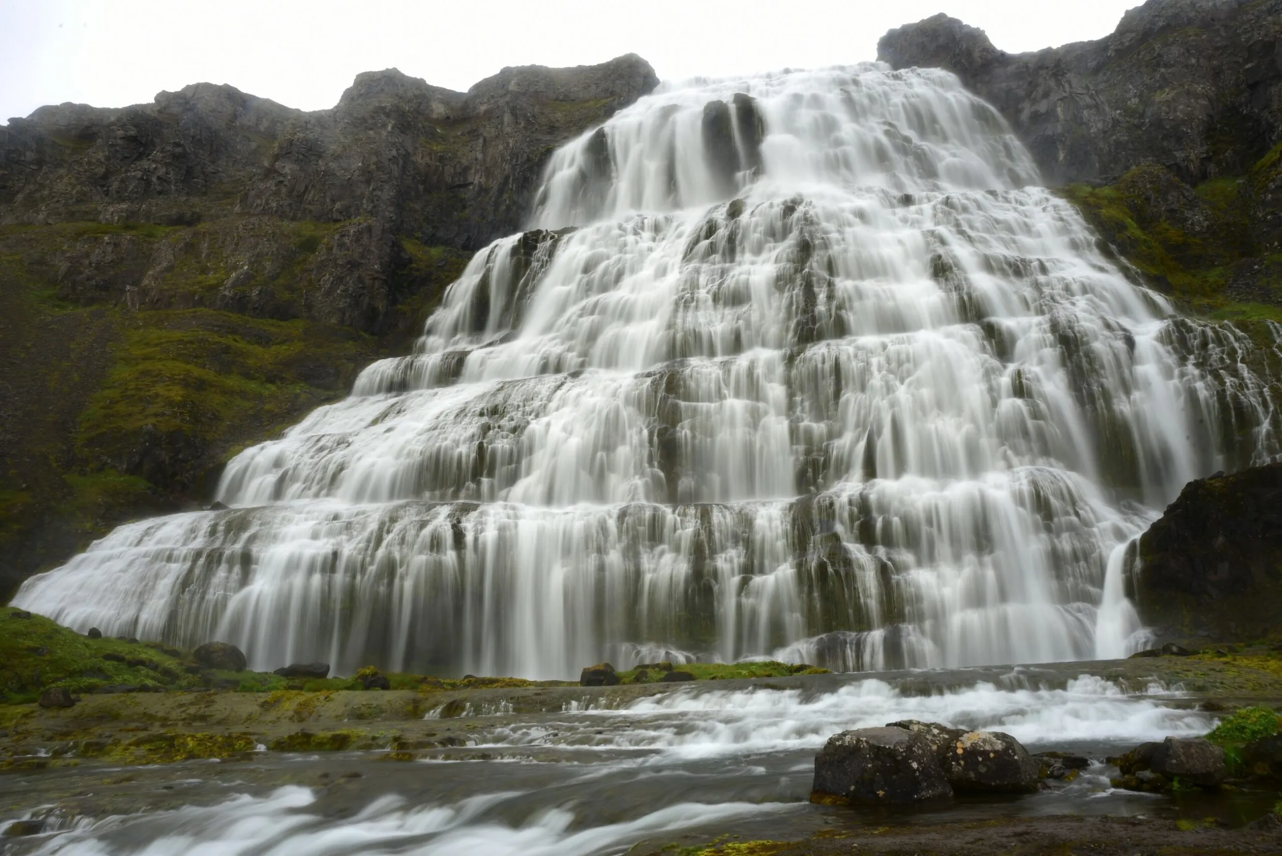
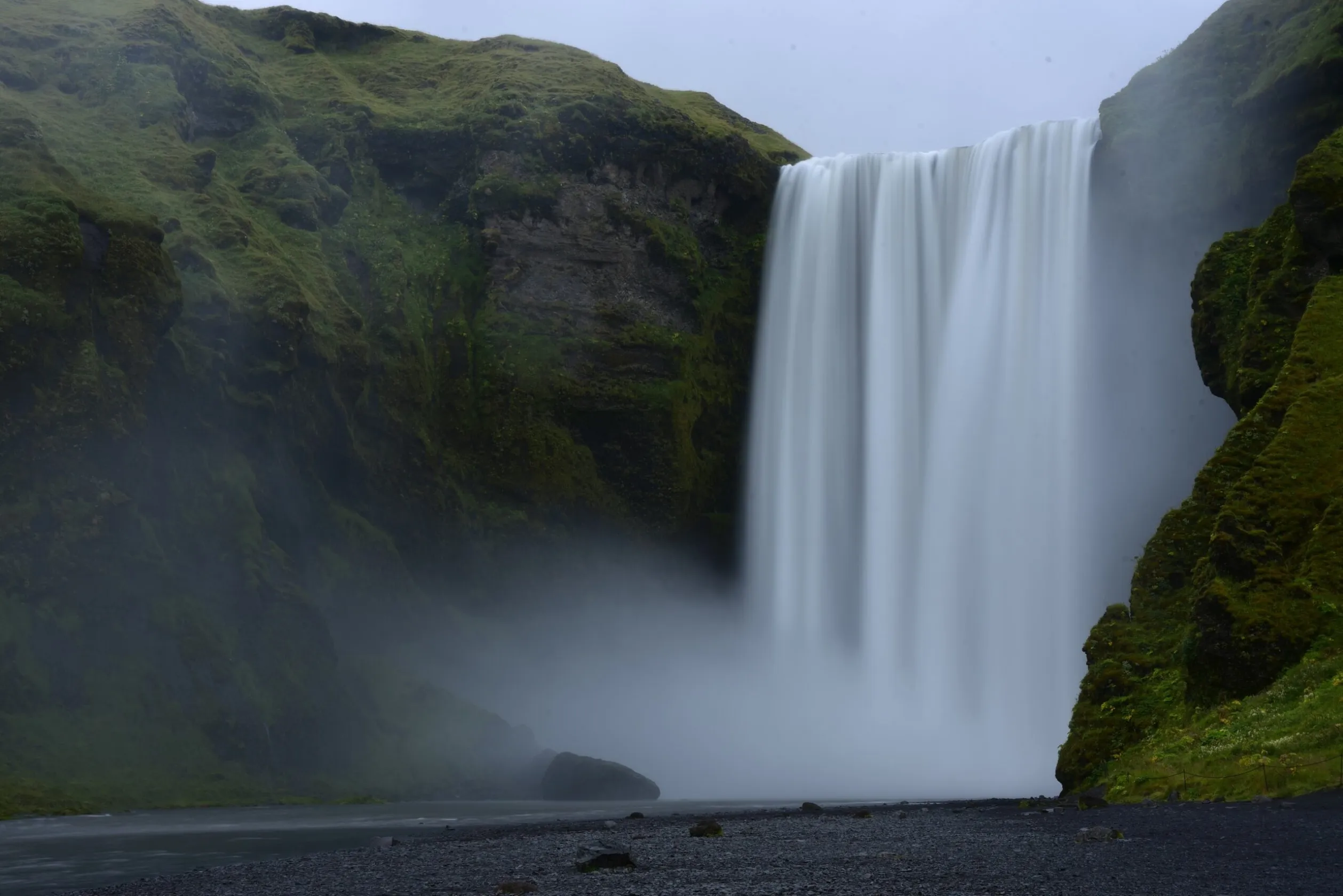
Just as in classic landscape photography, light remains the most important element of the image. A drone does not change the principles of working with light. The best conditions still usually appear at dawn, at sunset or during dynamic weather.
From above, however, light can reveal the landscape in a completely different way. Long shadows create geometric patterns, emphasize the structure of the terrain and help build more graphic compositions.
Drone photography works particularly well with:
- low light at dawn and sunset,
- fog,
- snow,
- dunes,
- agricultural fields,
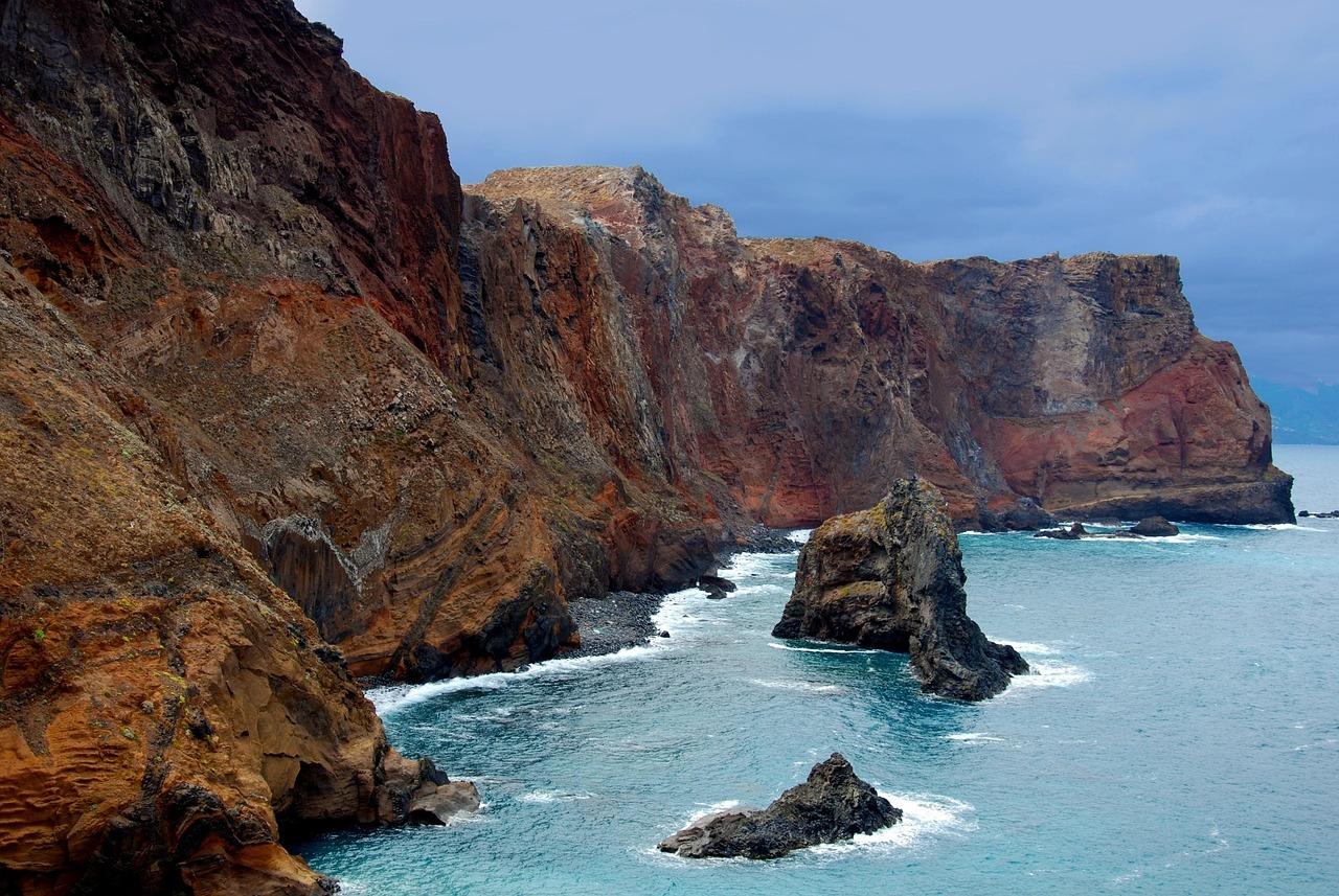
- coastlines,
- volcanic landscapes,
- water and reflections.
Composition From the Air
Drone photography relies very strongly on composition. From above, the landscape often becomes more abstract and graphic than it is from ground level.
It is worth looking for:
- leading lines,
- repeating patterns,
- color contrasts,
- minimalist arrangements,
- relationships between people and space,
- symmetry or its deliberate disruption.
A drone shows scale very effectively. A small person, car or road can completely change the way an enormous landscape is perceived.
Abstract and Minimalist Photography
One of the most interesting directions in drone photography is abstract photography. From the air, many landscapes stop looking realistic. Rivers, ice, fields or dunes begin to resemble painting or graphic art.
This is why a drone works so well in minimalist photography. Simplified arrangements, a limited number of elements and conscious use of negative space very often create stronger images than overloaded frames.
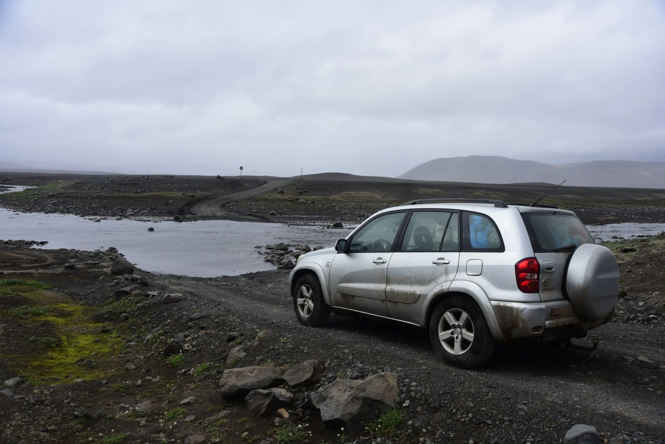
Safety When Photographing With a Drone
A drone in landscape photography gives great freedom, but it also requires responsibility. A photographer should always remember that safety is more important than the photograph.
The most important rules include:
- maintaining visual contact with the drone,
- avoiding flights in strong wind,
- monitoring battery level,
- checking airspace,
- keeping distance from people and animals,
- avoiding flights over crowds,
- knowing local regulations.
In landscape photography, respect for nature is also especially important. Some places are very sensitive to noise or the presence of drones, especially bird nesting areas and national parks.
Regulations and Restrictions
Drone regulations differ depending on the country. In many places, operator registration, online training or compliance with specific altitude limits may be required.
In national parks, additional restrictions or complete flight bans often apply. This concerns many popular photographic locations around the world.
Before a photography trip, it is always worth checking:
- local aviation regulations,
- no-fly zones,
- restrictions in national parks,
- drone registration requirements,
- insurance.
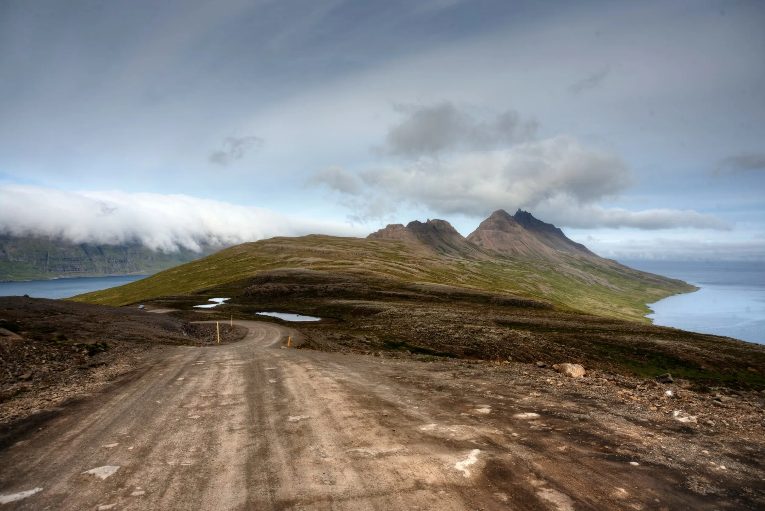
Weather and Flight Conditions
Weather is extremely important in drone photography. Strong wind, rain, snow or fog can make flying difficult or impossible.
At the same time, dynamic weather often produces the best light and the most interesting photographs. That is why the ability to assess risk and make conscious decisions is important.
A good drone photographer constantly observes:
- wind strength and direction,
- precipitation,
- visibility,
- temperature,
- flight time in relation to battery life.
A Drone During Photography Workshops
Landscape photography workshops increasingly include drone photography as well. Participants learn not only how to operate the equipment, but above all how to look at the landscape consciously from a new perspective.
The most important thing during such workshops is understanding that a drone does not replace classic landscape photography. A drone expands the photographer’s possibilities, but it still requires working with light, weather and composition.
In practice, the best results come from combining photography made from the ground with photography made from the air. This approach makes it possible to build more varied and more interesting visual stories.
Which Drone Should You Choose for Landscape Photography?
Not every photographer needs a large and very expensive drone. In travel and landscape photography, lightweight models that are easy to transport often work better.
It is worth paying attention to:
- sensor quality,
- flight time,
- image stabilization,
- wind resistance,
- weight and mobility,
- the ability to photograph in RAW.
What matters most, however, is not which drone we use, but how consciously we use its possibilities.
The Most Common Mistakes in Drone Photography
- flying too high,
- photographing only straight down from above,
- ignoring light,
- overloaded compositions,
- lack of a clear point of interest,
- flying in unsafe weather conditions,
- ignoring regulations,
- creating too many similar frames.
The Drone as a Tool for Telling Stories About the Landscape
The best drone photography is not only about showing a view from above. It is about showing the relationships between elements of the landscape, light, people and space.
A drone gives the photographer the ability to create more graphic, minimalist and abstract images. At the same time, it still requires patience, observation and the ability to work with natural light.
This is exactly why drone photography has become such an important part of contemporary landscape and travel photography.
Frequently Asked Questions
Does a drone automatically improve landscape photographs?
No. A drone gives a new perspective, but a good photograph still requires light, composition and conscious photography.
Can you fly a drone everywhere?
No. In many countries and national parks, restrictions or flight bans apply. Local regulations should always be checked.
When is the best light for drone photography?
The best conditions usually appear at dawn and sunset, when the light is soft and long shadows emphasize the structure of the landscape.
Is drone photography difficult?
The basics of control can be learned relatively quickly, but creating strong photographs requires experience, planning and the ability to work with the landscape.
Why do minimalist frames work well from a drone?
From a bird’s-eye view, the landscape often becomes more graphic and abstract. Simple compositions help organize the image and emphasize relationships between elements.
Useful Links
Conclusion
The drone has become one of the most important tools in contemporary landscape photography. It allows us to look at the world from a new perspective, discover the geometric structures of the landscape and create more minimalist and abstract images.
At the same time, drone photography is still based on the same principles as classic photography: light, composition, atmosphere and patience. It is precisely the combination of technology and photographic awareness that determines whether a drone photograph becomes a truly interesting image.